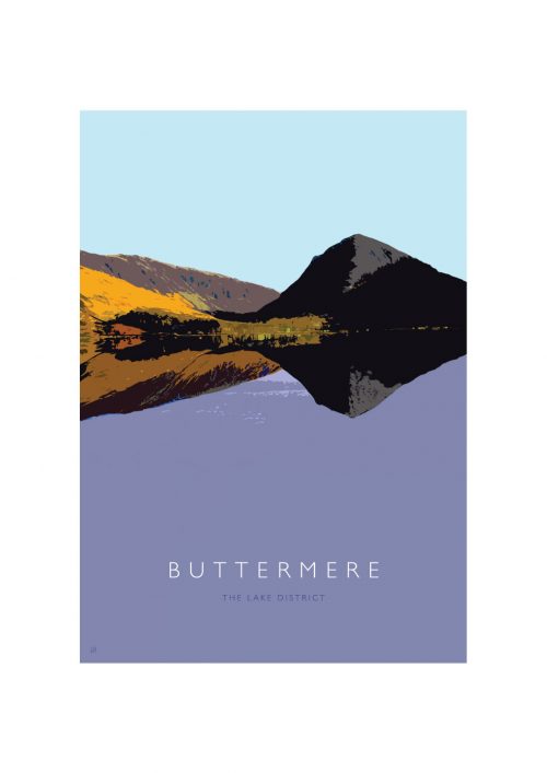
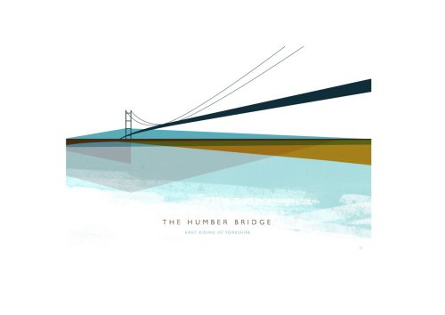
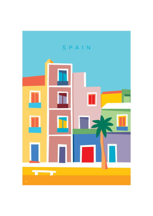
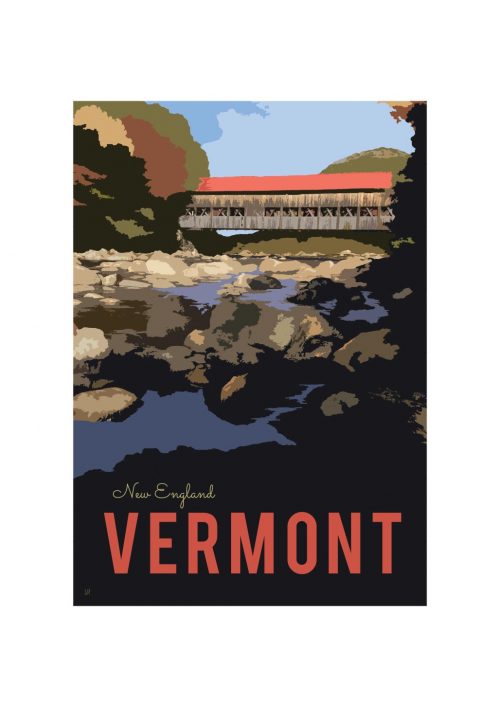
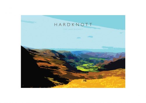
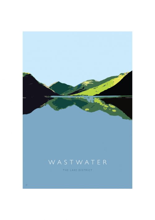
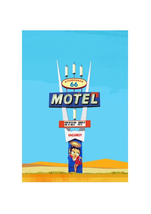
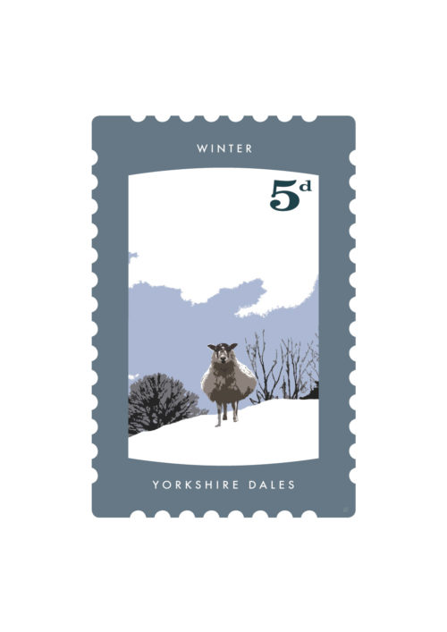
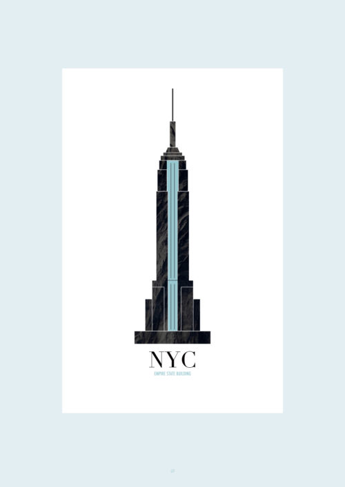
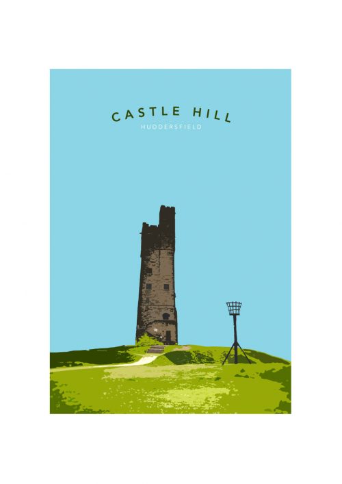
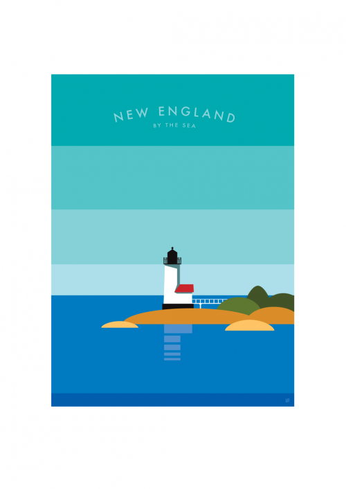
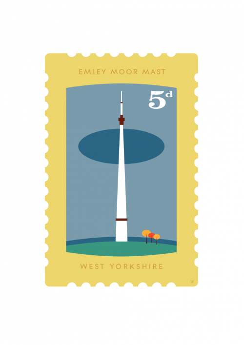
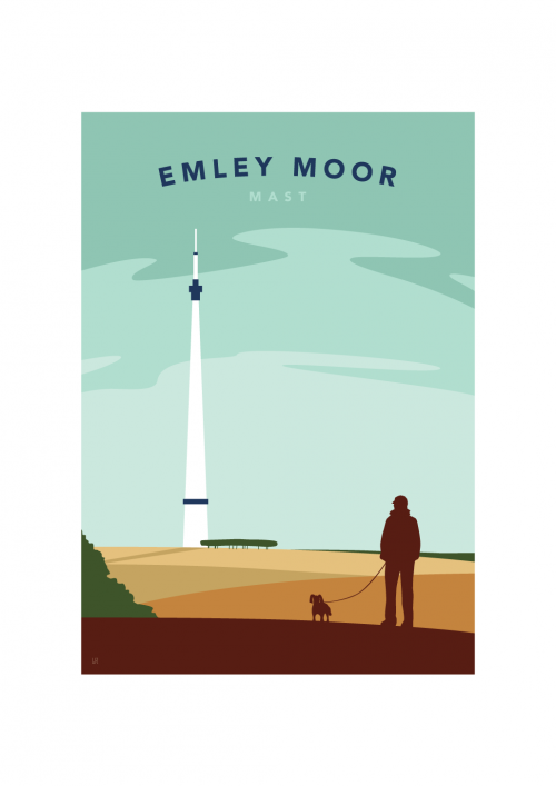
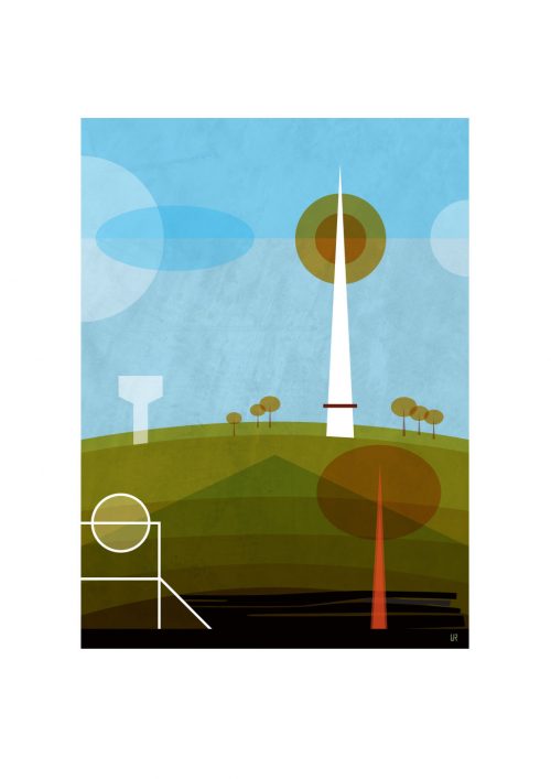
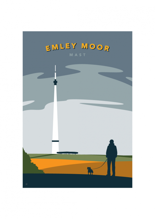
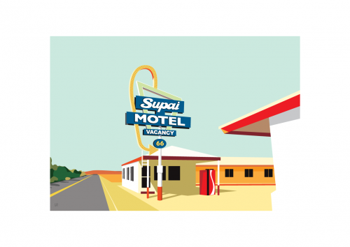
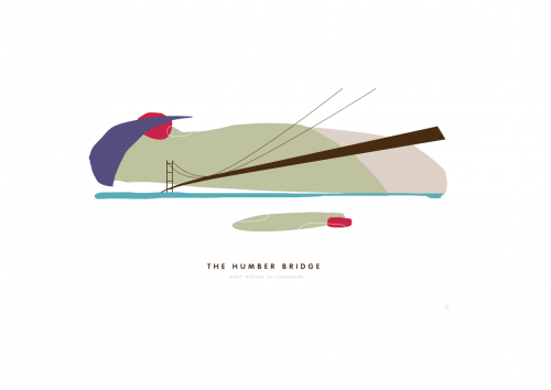
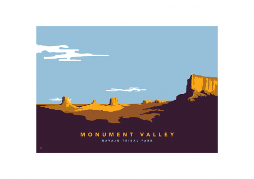
Lakeland Walker reviews the Map
11.10.2014 From Grike in the west to Grey Crag in the east and Binsey in the north to Dow Crag in the south, this huge (84cm x 59.4 wide) map pinpoints every one … More >
In 1955, the genius, both illustratively and typographically, Alfred Wainwright wrote in his first Pictorial Guide to the Lakeland Fells.
Surely there is no other place in this wonderful world quite like Lakeland . . . no other so exquisitively lovely, no other so charming, no other that calls so insistently across a gulf of distance. All who truly love Lakeland are exiles when away from it.
I can only concur with his sentiment.
This map is my attempt to reflect this. It is dedicated to my father, Howard Shackleton who introduced me to the Lakeland Fells some 45 years ago. The map has taken over 400 hours to complete. Like Wainwright's Guides, it has been a labour of love. It is designed to be a piece of art, pleasing to the eye and something which people would be proud to hang on their walls. Every fell and every tarn are accurate in terms of Grid Reference. It can be used to plan future routes, familiarise yourself with the proximity of the fells and tarns or simply to reminisce about days spent on the fells.
Ian Shackleton
Latest News…
11.10.2014 From Grike in the west to Grey Crag in the east and Binsey in the north to Dow Crag in the south, this huge (84cm x 59.4 wide) map pinpoints every one … More >
27.06.2014 This is your chance to win a Wainwright Fell Map. Simply name the fell which appears in the photograph to the left. Send it to … More >